Stage 30 - Wessex Ridgeway - Heytesbury to Bratton Camp - April 30th 2026

Updated: Aug 20
Official Stage Statistics
Route distance – 10.13 miles
Duration - 4 hours 26 mins
Total ascent – 1515 feet
Total descent – 969 feet
Highest point – 711 feet

Logistics
PR 15 bus from Premier Inn Salisbury South to City Centre
Drop off luggage at Nannybag location
Catch 24 bus from New Canal to Heytesbury 08:45
Walk to Bratton Camp
Walk to Westbury railway station
Catch train to Salisbury
Collect luggage
Catch trains to Huntingdon
My Walk
Yesterday’s walk was OK but not the most interesting. Thankfully, today the Wessex Ridgeway would more than make up for this with Iron Age hillforts, barrows, climbs and views a plenty, finishing up with a chalk horse. What’s not to like about all that! I’d also be introduced to the Imber Range Perimeter Path which would feature in the following stage too.
My day began at the Premier Inn Salisbury South where I’d stayed overnight. This is literally 200 yards from the Petersfinger Park & Ride as well as a large Tesco. Of the 2 Salisbury Premier Inn hotels, this is definitely the better one for getting to the city centre by bus. Having stayed at both, even when I’ve had my car, I prefer the South one to the North one. I got the P&R bus into the city centre and left my luggage at The Chapter House hotel in St John’s Street which I’d booked the day before using Nannybag . I prefer hotels to shops because you don’t have to worry about opening and closing times.

I caught the 8:45 number 24 bus back to Heytesbury. This service is operated by Beeline Coaches rather than Salisbury Reds. During the week my bus pass is only valid from 9:30 but Beeline handily accepts it from 8:45. £3 saved – every little helps!


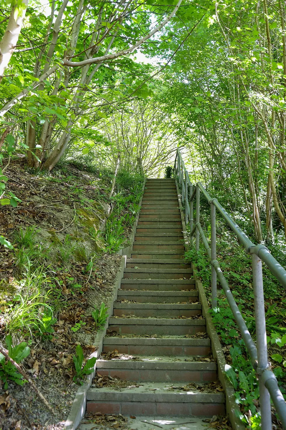
By 9:30 I was walking along Heytesbury High Street following Wessex Ridgeway waymarkers through the village. The other side of a stile was the busy A36. After crossing the road, a flight of stairs brought me out onto a field and after another 600 yards of climbing through light woodland to the top of Cotley Hill, the Wessex Ridgeway joined forces with the Imber Range Perimeter Path (IRPP).




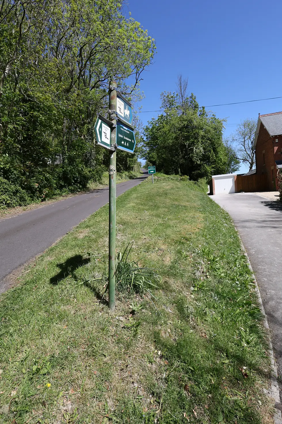
The IRPP does what it says on the tin. It’s a 30 mile path around the perimeter of a military training firing range (Imber Range) on Salisbury Plain, mainly following the escarpment above. The entire route is signed and waymarked using the IRPP logo. Imber Range is part of the Salisbury Plain Training Area (SPTA). SPTA is the largest military training area in the UK and covers an area of about 150 square miles.

Imber itself is a village that was swallowed up by the army during WWII supposedly for training purposes. Villagers were told that after the war, they would be allowed to return to their properties. As is often the case, the army reneged on this assurance, so today the village lies deserted. For a few days each year, people are allowed to visit the village, including a day in August when Imberbus Day takes place. First started in 2009, a vintage bus service from Warminster runs to Imber, allowing people to see parts of Salisbury Plain that they would never ordinarily be allowed to see, including the abandoned village. It proved so popular that it's now an annual event. Any profits on the day are shared amongst charities, including the Imber Church fund. St Giles Church in the village is open for a handful of days each year including for a carol concert in December. In 2026, Imberbus Day took place on Saturday August 15th and I decided I'd have to go along. You can read all about how I got on by following the link at the bottom of this page.
So, back to my walk. More climbing brought me to the top of Cotley Hill and a round barrow with a cairn (a man-made pile of rocks) marking its position. Wow! What fantastic views. The path continued along the top of the hill towards Scratchbury Hill, passing a pair of long barrows.


Scratchbury Camp is an Iron Age hillfort from about 100 BC. It occupies an area of about 40 acres on top of Scratchbury Hill. I spent a while walking around it before taking a steep path down towards a small car park. As I descended strip lynchets at the base of Middle Hill could be clearly seen. These probably date from medieval times.


I next began the climb up to the top of Middle Hill. I passed a couple of fellow walkers, John & Graham, who were taking a break, admiring the views. Middle Hill is aptly named as it’s certainly a hill lying between Scratchbury Hill and Battlesbury Hill. At the top of this hill is an ancient bowl barrow with a diameter of about 100 feet. It’s presumed that this was once circular but it’s now oval in shape due to modern ploughing. A number of trees cover the barrow.


Having climbed and descended Middle Hill, today’s piece de resistance came next – Battlesbury Camp on top of Battlesbury Hill. The hill is 682 feet high. The hillfort has mostly 2 ditches and ramparts but in places has 3. The highest rampart is about 60 feet. As with the other hills I’d walked across today, Battlesbury has fabulous views across the Wylye (pronounced Why-lee) Valley.


At the bottom of Battlesbury Hill the trail turned left along Imber Road in Warminster, past the entrance to Waterloo Lines - the name of the British Army barracks, previously known as the Land Warfare Centre and before that, Warminster Training Centre. The barracks are home to a number of MOD and army specialist training schools. Warminster is also the home of Battlesbury Barracks, a short distance from Waterloo Lines. The Royal Dragoon Guards and a couple of other units are based here. Right on cue, live firing started in the distance and this would carry on for much of the rest of this stage.

The trail took me past St Giles Garrison Church, a not particularly attractive building it has to be said! The church was dedicated in 1968. Its foundation stone came from St Giles Church in Imber – the village the army took over in 1943 and never returned to the residents.

Beyond the church, the path began a steady climb away from the centre of Warminster up towards West Wilts Golf Club. The path then continued climbing with good views of the barracks and Battlesbury Hill to my right and a very impressive valley called Kidnapper’s Hole! The whole time, the Wessex Ridgeway was sharing with the IRPP and this is where the firing was at its loudest.



A steady descent was followed by a steep climb to the top of Upton Cow Down (what a lovely name!).


After another ½ mile of walking along the ridge, the Wessex Ridgeway briefly parted company with the IRPP. It carried on through a narrow strip of woodland that had recently been thinned out. Carrying on, the path continued along the escarpment with far reaching views over Westbury.


After passing a disused chalk quarry I arrived at Westbury Hill and the road down that led down to Westbury. This is where I was going to finish this stage. A couple of hundred yards further on however was the Westbury White Horse and Bratton Camp. I’d investigate these more fully on the next stage but for now I had to get to Westbury Station for a train back to Salisbury. The road down the hill to the centre of Westbury is steep and about 1½ miles. The railway station is almost another mile further on, so my 10 mile walk turned into a 12½ mile walk. I’d factored this in as part of my planning, so knew what to expect.


Even with the walk down the hill to the station, this had been a cracking walk in beautiful countryside.

By 4 o’clock I was back in Salisbury. It had been quite a warm day so before retrieving my luggage from The Chapter House, I stopped for a pint. Duly refreshed & reunited with my luggage I returned to Salisbury Station for the first of 3 trains back to Huntingdon. It was great letting the trains take the strain; I do so love it when all my connections work. This had been a very successful trip.


Comments