Stage 32 - Wessex Ridgeway - West Lavington to Devizes - April 24th 2026

Updated: Aug 20
Official Stage Statistics
Route distance – 10.58 miles
Duration - 4 hours 15 mins
Total ascent – 861 feet
Total descent –700 feet
Highest point – 710 feet

Logistics
Stay overnight at Premier Inn Trowbridge
Drive to Devizes & park - Station Road Car Park SN10 1BZ
Catch bus X2 to West Lavington 08:55 arriving 09:19
Walk to Devizes
Pick up car & drive home
My Walk
Today’s walk would begin with a climb back up to rejoin the Imber Range Perimeter Path (IRPP) and White Horse Trail (WHT), which the Wessex Ridgeway would follow for 3 miles. After steadily climbing to the highest point of the stage, the path would then peel off to the left leaving both the IRPP and WHT and it would then descend into the picture perfect village of Urchfont.
Beyond Urchfont, a slow and steady climb for 2½ miles would bring me to Etchilhampton Hill, which it would skirt around. Another 2 miles would bring me to the Kennet and Avon Canal in Devizes and a short walk alongside the canal would bring me to the town centre and the end of this stage.
After yesterday’s drama with my phone I was hoping for a less stressful day!
I’d stayed overnight at the Trowbridge Premier Inn. I had a ‘spare’ booking that I had left over from last year – that’s why I chose to stay here, plus it would make today’s logistics work well. I began by driving to Devizes and parking in the Station Road long-term carpark. I then caught the X2 bus back to West Lavington and by 9:30 I was climbing up a track towards the IRPP and WHT on what was yet another gorgeous day.


At the top of the hill, I turned left onto the IRPP byway which was relatively wide and made for easy walking. I was immediately reminded that to my right was a military training area and in this case, the Westdown Artillery Range. However, there were no red flags flying and all was quiet today on the firing front!


The blue sky, rapeseed fields and the views made for a lovely landscape. After passing another vedette – this one named ‘VD 11 Lavington’, I came across a memorial on the right hand side to a German soldier, Jager Dirk Knöffel, who “passed away by accident on 5th September 1993”. It seems that Knöffel was a member of a German parachute regiment, presumably training in the vicinity. He was killed when his anti-tank vehicle rolled over. From what I can find out, the memorial was funded by members of a UK parachute regiment.
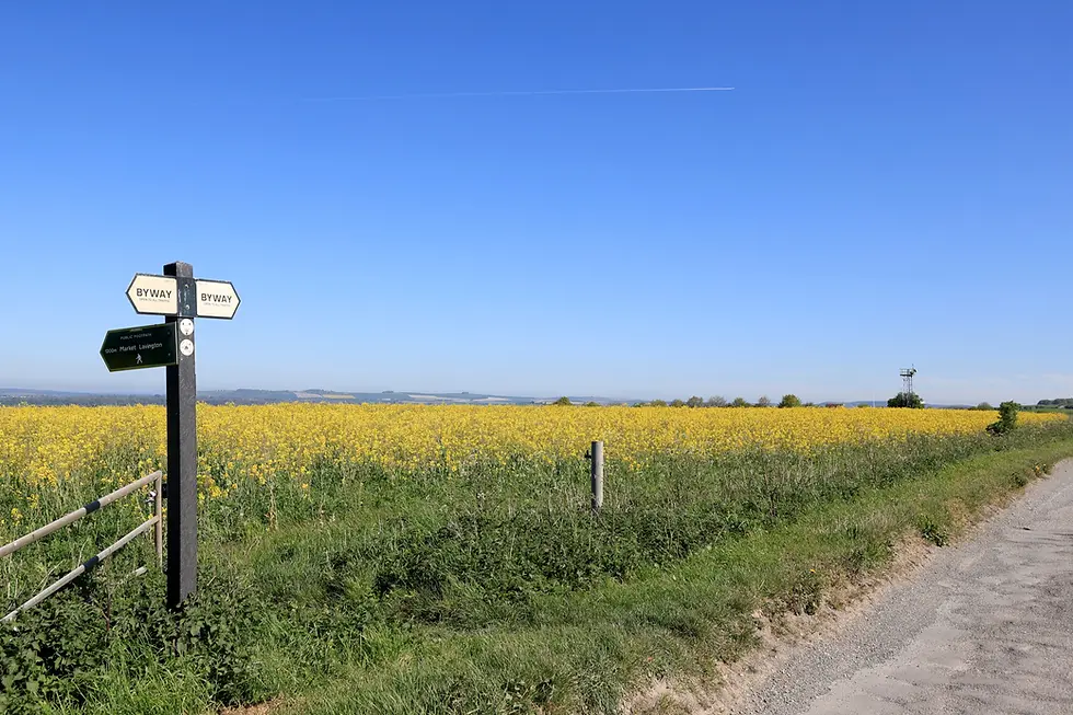
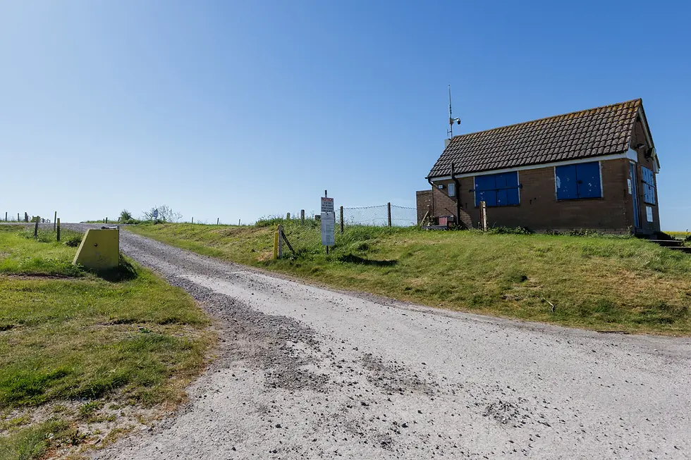
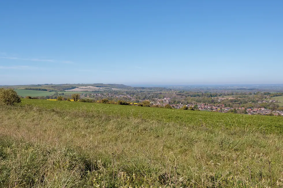


After 3 miles of walking along the byway, it was time for the Wessex Ridgeway to part company once more with the IRPP and WHT. For about 0.8 miles, the path slowly descended off the ridge towards the village of Urchfont.


On reaching the village the ‘Wow!’s started. What a beautiful village. It’s no wonder they proudly display that they have twice been voted ‘Winner of Winners’ in the Wiltshire branch of the Campaign For Rural England’s ‘Best Kept Village’ competition, most recently in 2025. It's astounding that I didn't see 1 piece of litter as I walked through the village!


I was waylaid in the village for a few minutes longer than I’d anticipated due to not being able to find where the Wessex Ridgeway continued. Eventually however, I found the gate I had to go through. It was quite well concealed in my defence!

The gate led me into a field of cows. They were bored of eating grass and decided I was more interesting, so they followed me across the field. I’ve never been hit by a cow yet but some of these were getting a little uncomfortably close!

Beyond the cows, the path continued across a few fields towards a railway line. Four flights of stairs led up to the GWR mainline tracks which I had to cross. Beyond the railway, the path continued through more fields and another field of cows. These cows however weren’t really too bothered about me.


The path eventually joined a small road that led up to the A342 in the village of Stert. On the other side of the road the path continued towards Etchilhampton Hill, which it would skirt around to the left rather than climb.


As I passed the hill, the Vale of Pewsey opened up. The vale is an area of low land between Salisbury Plain to the south and Marlborough Down to the north. It stretches east-west for about 19 miles and north-south for about 3 miles.


To the left, Devizes itself could be seen and the Devizes White Horse (officially the Devizes Millennium White Horse) became clearer. This is the youngest of the Wiltshire white horses, having been cut in 1999 to commemorate the forthcoming third millennium. I’d pass close to this horse on the next stage.


As I carried on, the Alton Barnes White Horse also came into view again in the very far distance, so 2 horses for the price of 1! As the crow flies the horses are about 6 miles apart, so I couldn’t get a photo with both of them in it.

By mistake, I left the path a couple of hundred yards too soon and consequently missed the short walk alongside the Kennet and Avon Canal to reach Devizes town centre. I would make up for this on the next stage however!
I reached the town centre at about 1:30. What an enjoyable morning I'd had.


The highlight of today’s walk had undoubtedly been Urchfont; I could see myself living there! Back to reality however, I walked back to my car and drove home.


Comments