Stage 34 - Wessex Ridgeway - Avebury to Marlborough - May 22nd 2026

Official Stage Statistics
Route distance – 6.24 miles
Duration - 2 hours 28 mins
Total ascent – 454 feet
Total descent – 549 feet
Highest point – 772 feet

Logistics
Drive to National Trust Avebury car park and park car
Walk to Marlborough town centre
Catch bus 42 to Avebury
Pick up car & drive to Whalebridge Car Park Swindon
Stay overnight in Premier Inn Swindon Town Centre
My Walk
On the final stage of the Wessex Ridgeway (WR) I would cross paths with The Ridgeway, about 1½ miles from Avebury on Overton Down. This would mark the point where the Great Chalk Way alternative route from Win Green finishes. Continuing beyond Overton Down, the WR would continue in a roughly west to east direction across Fyfield Down, Manton Down and Barton Down before descending into Marlborough, the finishing point of this trail.

At a little over 6 miles, much of which would be downhill, this would be a very short walk which I could rattle off in just over 2 hours. Had I not had plans for more walks in the area over the next couple of days, it certainly wouldn’t have been worth my while driving all the way from home for a 2 hour walk.
My day began with a drive from home to the National Trust car park at Avebury. It wasn’t even 9 o’clock so, apart from the sheep and a couple of dog walkers, I had the henge and stones pretty much to myself before starting my walk.


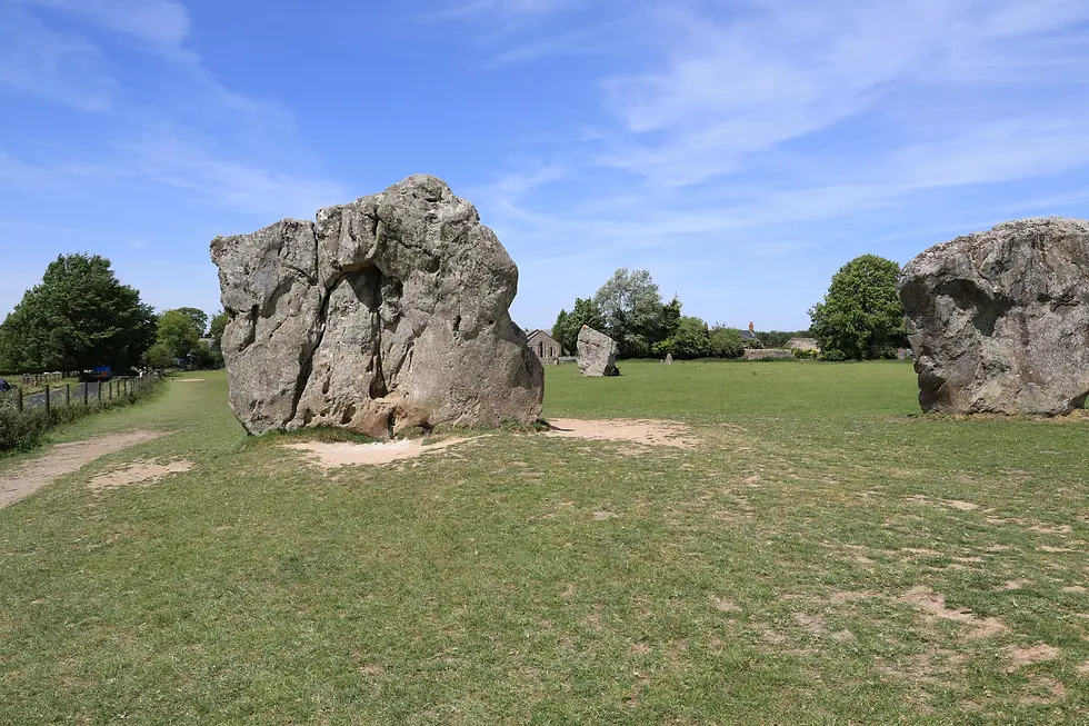
The WR continued up the lane marked on the OS map as ‘Herepath or Green Lane’. heading towards the Ridgeway. A herepath is a military road (literally, an army path) in England, typically dating from the ninth century AD. This particular herepath began as an asphalt road with a few cottages, houses and a farm, before becoming a traditional, rough restricted byway, heading upwards towards the Ridgeway. As the path climbed, the views of the surrounding area just got better and better.


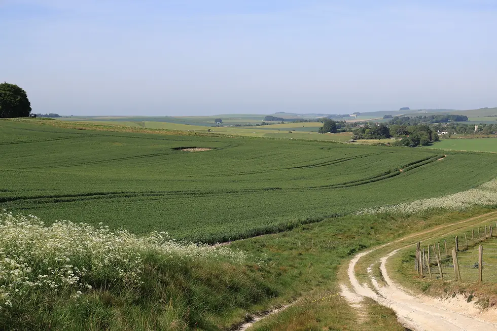
After 1½ miles I reached the top of the hill and the crossing point with the Ridgeway. This marked the end of the alternative route to reach here from Win Green. When I walked the Great Chalk Way in 2025, I reached this point from Win Green by walking the Cranborne Droves Way to Salisbury and then the Sarsen Way beyond Salisbury. Had it not been for my haphazard order of walking the stages, I would be able to say I had now completed both ways of reaching Overton Down from Win Green. As it was, I had 1 more stage to walk, Ludwell to Hindon. I was going to do this walk tomorrow.

This high-level map shows the Wessex Ridgeway in light blue, the Cranborne Droves Way in yellow, the Sarsen Way in orange and the Ridgeway in dark blue.

I could have stopped here and walked back down the hill to my car but for the sake of just a few miles I wanted to continue to Marlborough, the finish of the WR.
The herepath continued across Overton Down and Fyfield Down. It was buttercup season, a gorgeous day, fabulous views, the last miles were all downhill and it was also my birthday, so all was well with the world!

As I walked, I could see lots of what I thought were sheep sitting in the sunshine. As I got closer, I realised that they weren’t sheep but sarsen stones! The further I walked the more stones there were. When I got home and Googled Fyfield Down, the Wiki page told me that the down has the best assemblage of sarsen stones in England. The stones are known here as the Grey Wethers for their likeness to sheep when seen from a distance; so I wasn’t the only person to think they were sheep! ‘wether' is an Old English word meaning sheep.
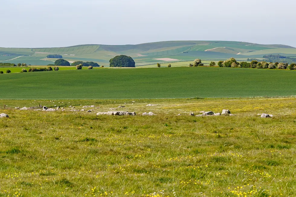

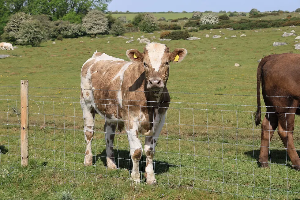
Fyfield Down comes within Stonehenge and Avebury UNESCO World Heritage Site. It’s not only protected as a Scheduled Monument but is also an SSSI. There is evidence on the down of farming, settlement and industry dating back to around 4000 BC. Today there is still farming going on in the shape of grazing cattle.



Beyond Fyfield Down, a board informed me I was on land belonging to Manton Park and that I should be on the lookout for galloping horses. Manton Park trains and breeds racehorses. The straight gallop across Manton Down and Barton Down towards Marlborough was over 1 mile long.

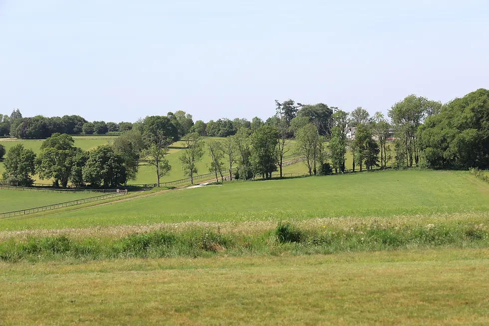


After crossing a minor road, the path continued alongside Marlborough Golf Club and Marlborough Common before dropping down into Marlborough itself. There is nothing in Marlborough to mark the start/finish of the Wessex Ridgeway; the OS map however shows the trail ending at the library which is at the end of the High Street on the corner of Hyde Lane.


It wasn’t even 11:30 by the time I finished. A bit too early to celebrate with a pint, so whilst I waited for the bus back to Avebury, I treated myself to a coffee.
Back in Avebury I visited the museum, or to give it its full name, the Alexander Keiller Museum. It houses one of the most important prehistoric archaeological collections in Britain. Alexander Keiller was an archaeologist who once owned Avebury Manor and estate and excavated for over 10 years in the Avebury area between 1925 and 1939.
As mentioned, despite having reached Marlborough, because I’d been walking the Wiltshire section of the Wessex Ridgeway in seemingly haphazard stages, I still had one left to go – Ludwell to Hindon – before I could say I’d completed the entire Wessex Ridgeway from Lyme Regis to Marlborough. That would be tomorrow’s walk. For now, I drove to Swindon where I was staying overnight at the Swindon Town Centre Premier Inn. I celebrated my birthday with a couple of pints and a pudding with my evening meal!


Comments